RALEIGH, N.C. — A late-week storm is forecast to usher much colder air across North Carolina after a milder stretch, and the National Weather Service office here said a widespread frost or freeze looks likely once that system clears next weekend.
Sunday began on the cool side under high pressure, with afternoon readings still expected to climb into the 60s as clouds stream east. A warmer pattern should follow early in the coming week, with temperatures running about 5 to 10 degrees above average before the setup flips.
High in the stratosphere, a sudden warming has weakened the polar vortex for now and opened a path for Arctic air to drop as far south as the Carolinas and Florida. That pattern also raises the chance of the season’s first flakes along the Blue Ridge Parkway and on west-facing slopes of Virginia’s Shenandoah range.
The wintry window covers Thursday through Saturday, Nov. 12-14. Accumulations look light, but rain turning to a mix or blowing snow could cut visibility and leave slick pavement, especially in the mountains.
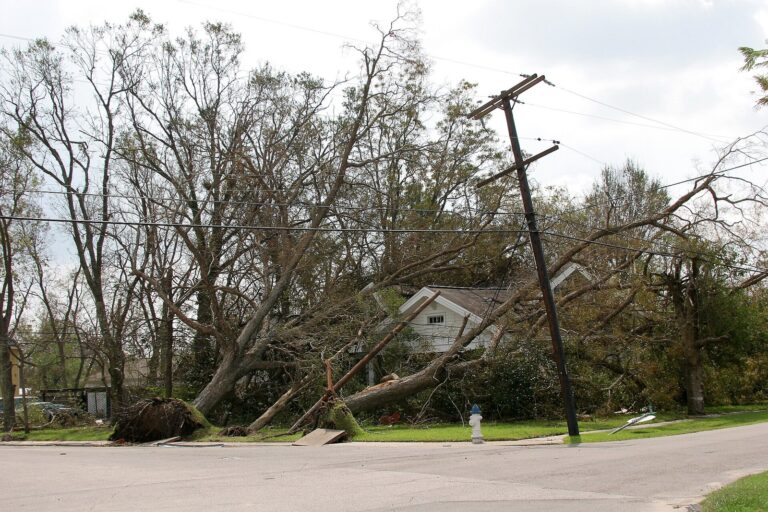
In the Piedmont Triad and nearby foothills, roads may be wet on Thursday as the front arrives and then turn windy. Gusts could knock out power in spots through Saturday. After the front, readings may run 15 to 20 degrees cooler than usual, with nights near the freezing mark and afternoon highs only in the 50s next Saturday and Sunday. Bitter winds could make it feel like the teens or even single digits.
Rainfall late in the week is still hard to pin down. Most computer guidance sends the surface low across the northern Mid-Atlantic on Thursday and Friday, which would keep North Carolina amounts isolated. A few solutions drop the low farther south through the Tennessee Valley or over the Carolinas and would produce heavier rain along a deformation band.
The best shot at measurable rain, and possibly a few storms if the state sits in the warm sector, comes with the cold front Thursday afternoon or evening. A weaker disturbance on Wednesday may increase clouds but offers little rain because Gulf moisture stays cut off. Patchy frost is also possible Tuesday morning under clear skies and light winds, ahead of the stronger freeze threat after the colder air arrives. No watches or warnings were in effect Sunday morning, though northwest winds are expected to turn brisk on Friday and those gusts could be the one factor that limits how hard the freeze hits.
Filed under: Charlotte NC Weather News